USFSOkanogan-Wenatchee National Forest · Washington
Willows Campground
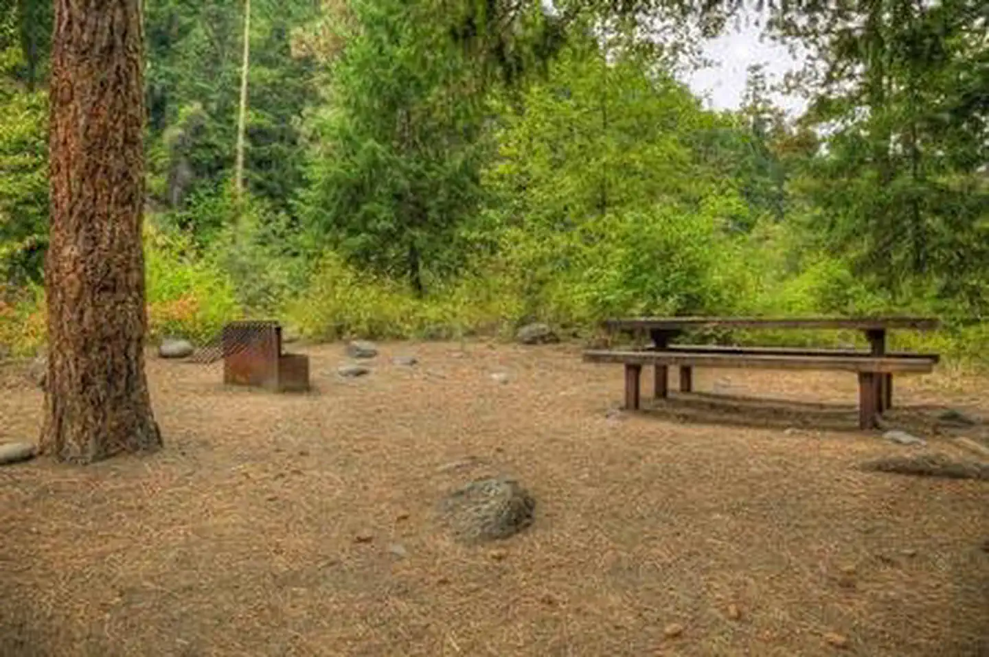
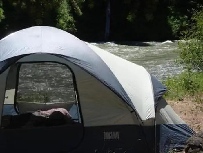
Overview Willows Campground sits on the eastern slopes of the Cascade Mountains at the southern end of the Okanogan-Wenatchee National Forest, offering visitors some of the most stunning scenery in Wa
Sites16all reservable
Elev.2,484ft
Comf.May-Oct6 months
Max rig40 ft
Electricnonesites
From Yakima0h44real road time
The honest read
Synthesized from RIDB · Open-Meteo OSM · OSRM Updated 2026-05-27
At 2,484 ft, Willows Campground has a 6-month comfortable window (May-Oct). Winter nights average around 28°F, so the shoulder seasons turn cold fast. All 16 sites are reservable in advance, so plan ahead. Popular weekends book out. Within about 4 miles: 1 named hiking route, 4 peaks, lake or river access.
The campground at a glance
01 · CHARACTER
Reads strongest on reservability and shade. Softest on quiet.
Six axes, each scored relative to every other federal campground in the region: quiet (miles to a major road), cool (elevation), roomy (average site spacing), shade, RV-fit (longest rig), and how reservable it is. All six come from data, nothing hand-tuned.
When to go
02 · CLIMATE
avg highavg lowfrost-freedriest · Jul
May-Oct
Comfortable window: nights stay above 35°F, days below 90°F.
92%
Of summer weekend-days are dry.
Apr 29
Last spring frost; first fall frost Oct 19.
56°F
Average July low.
Getting there
03 · ACCESS
01
Yakima
34 mi
0h44
02
Seattle
131 mi
3h09
03
Spokane
234 mi
4h20
By drive time
Routed road time (OSRM). Nearest major highway 0 mi away.
We synthesize public data layers: RIDB and Recreation.gov facility and site records, Open-Meteo climate normals, OpenStreetMap roads, trails, and water, OSRM drive times, and USGS elevation. We take no bookings, no ads, and no paid placements. Independence is the entire point.